

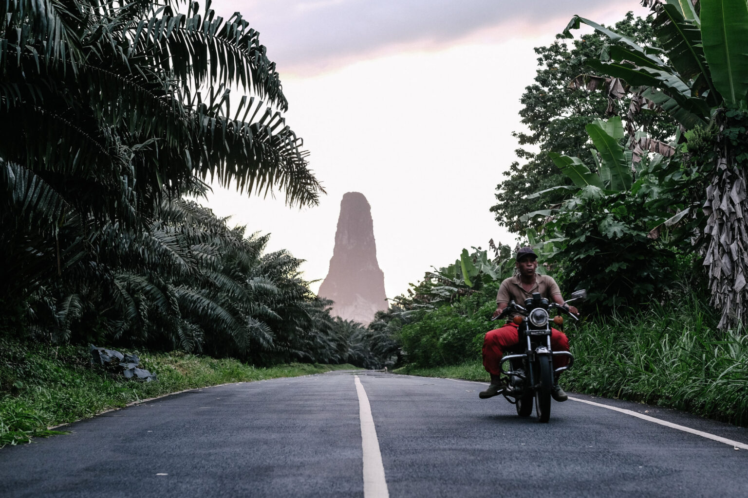
Get to know
Two islands in the Gulf of Guinea
São Tomé and Príncipe is a volcanic archipelago crossed by the Equator, in the Gulf of Guinea. The islands were discovered by Portuguese navigators João de Santarém and Pêro Escobar around 1470 and were uninhabited. The country became independent on 12 July 1975; one-party rule lasted until 1990, the year of democratic reform.
The territory is divided into six districts on the island of São Tomé and the Autonomous Region of Príncipe (Pagué district).
| Capital | São Tomé |
|---|---|
| Area | 1,001 km² (São Tomé island 859 km², Príncipe island 142 km²) |
| Distance between the islands | about 140 km |
| Independence | 12 July 1975 |
| Autonomous Region of Príncipe | since 29 April 1995 |
| Official language | Portuguese |
| Currency | Dobra (STN), new dobra since 1 January 2018; fixed exchange rate to the euro (€1 = 24.5 STN) |
| Highest point | Pico de São Tomé, 2,024 m |
| Population | 201,800 inhabitants (official 2018 estimate); current figures from the National Statistics Institute of São Tomé and Príncipe (INE) |
Sources: Wikipedia (Portuguese articles “São Tomé e Príncipe” and “Dobra”), consulted in October 2026.
Territory
The seven districts
Six districts on the island of São Tomé and one on Príncipe. The National CSO Network is organised into three District Networks covering the six districts of São Tomé.
Água Grande
District capital: São Tomé
The capital’s district: the smallest and most densely populated.
Mé-Zóchi
District capital: Trindade
Mountainous interior, with Monte Café and access to Obô Natural Park.
Cantagalo
District capital: Santana
East coast, with plantations such as Água Izé.
Caué
District capital: São João dos Angolares
The south of the island: Porto Alegre, Praia Jalé, Pico Cão Grande and Ilhéu das Rolas.
Lembá
District capital: Neves
West coast, between the forest and the sea.
Lobata
District capital: Guadalupe
North of the island, with Lagoa Azul.
Pagué (Príncipe)
District capital: Santo António
The Autonomous Region of Príncipe.
Nature
Biodiversity and Biosphere Reserve
The island of Príncipe was designated a UNESCO Biosphere Reserve in 2012; in 2025 the designation was extended to the whole country. Obô Natural Park protects much of the tropical forest of São Tomé and Príncipe.
- About 14% of the flora of São Tomé island is endemic.
- All of the archipelago’s amphibians are endemic.
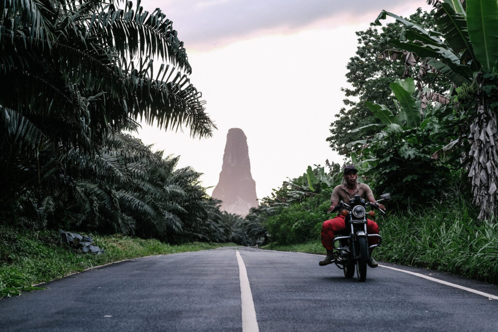
- Volcanic peaks: Pico de São Tomé (2,024 m), Pico do Príncipe (948 m) and Pico Cão Grande (663 m).
Sources: UNESCO – MAB Programme; Wikipedia (Geography of São Tomé and Príncipe), October 2026.
Explore
Explore the islands on the map
Filter by island, district or category (organisations, points of sale, experiences, nature, heritage). Only confirmed locations are shown.
Places not to miss
Practical information
Before you travel
Entry requirements, health advice, flights and exchange rates change. Always check official sources before you travel.
Visas and entry
The rules depend on your nationality and change frequently. Check with the embassy or consulate of São Tomé and Príncipe and on the Government portal (gov.st).
Check before you travel
Health
Vaccinations and prevention (for example, against malaria) should be discussed at a travel clinic. Country information: World Health Organization.
Check before you travel
Climate
Tropical, hot and humid, with an annual average of around 26 °C. The rainy season generally runs from October to May; the gravana (dry season) from June to September.
Source: Wikipedia (Climate of São Tomé and Príncipe).
Currency and payments
Dobra (STN), with a fixed exchange rate to the euro (€1 = 24.5 STN). Check whether cards are accepted at each place.
Check before you travel
Getting there
São Tomé International Airport is the main point of entry. Routes and schedules change: check with the airlines.
Travel responsibly
Local guides, accommodation that meets sustainability criteria and community products.
Society and culture
A Creole history
Santomean society was formed by Portuguese settlers and people brought from the African mainland, first for sugar and, from the 19th century, for the coffee and cocoa plantations (roças). On 3 February 1953, the Batepá massacre marked the anti-colonial struggle; it is remembered today as Liberty Martyrs’ Day.
Besides Portuguese, Creole languages are spoken: Forro, Angolar and Lung’ie (Principense), as well as Cape Verdean Creole. In the census cited by Wikipedia, Forro was spoken by 36.2% of the population.
Living heritage: tchiloli and danço-congo in São Tomé, the Auto de Floripes in Príncipe, and dishes such as calulu.
Sources: Wikipedia (History, Languages and Culture of São Tomé and Príncipe), October 2026.

CSOs and networks
Organised civil society
Guide associations, organic cocoa, coffee and vanilla cooperatives, community groups and NGOs: they are the ones who make green tourism happen on the ground.
33
CSOs in the National Network
3
District Networks
6
districts of São Tomé
2
points of sale open
Figures from the National CSO Network for Green Tourism (PTRS, October 2026).
Economy
A small island economy
The economy is based mainly on agriculture (especially cocoa), fishing and a small processing industry, with tourism playing a growing role. Being a small archipelago with a limited market and workforce is one of the main challenges.
For up-to-date data, see the World Bank and the INE.
Source: Wikipedia (Economy of São Tomé and Príncipe), October 2026.
Local production in the Network
- Organic cocoa: CECAB (Lobata) and CECAQ 11 (Cantagalo).
- Organic coffee: CECAFEB (Monte Café).
- Organic vanilla: APBB-ST (Água Crioula).
Resources
Sources and useful links
Official and international bodies for up-to-date information.
- Government of São Tomé and Príncipe – official portal (in Portuguese).
- National Statistics Institute – population and indicators (in Portuguese).
- UNESCO – Biosphere Reserve.
- World Health Organization – São Tomé and Príncipe.
- World Bank – country data.
- CPLP – Community of Portuguese Language Countries.
- Camões, I.P. – Portuguese cooperation.
- Wikipedia – São Tomé and Príncipe – source of the general data in this guide.
This guide is for information only and was reviewed in October 2026. Spotted a mistake? Let us know.
Plan a visit that leaves value in the communities
Routes with local guides, sustainable accommodation and products from Network organisations.